Recommended Day Trip: Sam’s Point
For the couple months, I’ve been taking time for weekly hiking trips to various places scattered a stone’s throw outside of the Albany area. The fact that I haven’t been to the same place twice yet this year has served to be a wonderful reminder of just how many awesome places there are to hike and visit in our extended backyard.
Most recently, I ventured just past the Kingston exit (about 45 minutes off the highway) to Sam’s Point Preserve in Ulster County. Sam’s Point is the highest point of the Shawagunk Ridge in New York, at 2,289 feet and they have 4,600 acres preserved.
Hit the jump for photos and to get the gist of what Sam’s Point is all about.
Aside from drivers going too slow on the country roads, the drive was scenic, stress-free and took us just over an hour and half to get there. We also passed 3 or 4 quaint, homegrown diners that looked awesome, as well as handfuls of farmer’s markets and places to buy fresh strawberries and produce.
Upon arrival, the only surprise was that parking wasn’t free. However, don’t let that put you off from going there because during your time on the preserve, you’ll be thankful for the well-kept paths while also supporting the maintenance of a beautiful preserve. (Parking was $10 by the way, so really not thaaat bad, cheapies).
Once on the path uphill, you walk up for about ten minutes or so until you see your first cliffs and incredible views. From there, you’ll see your first crossroad where you can go to the outlook, the ice caves or the falls. The outlook is close enough to the fork that you can check it out no matter what; either on your way going in or on your way back. Also, the outlook is the obvious place to take any group photos so get it out of your system there!
We opted for the ice cave route and walked along the mountaintop to get there. The environment is really interesting and has dwarf pine trees along the ridgetop, as well as small running creeks and giant rocks naturally planted throughout. The trail also is either gravel or paved, which made the incline bearable. There also is a consistent mountain breeze; otherwise we’d have been miserably hot.
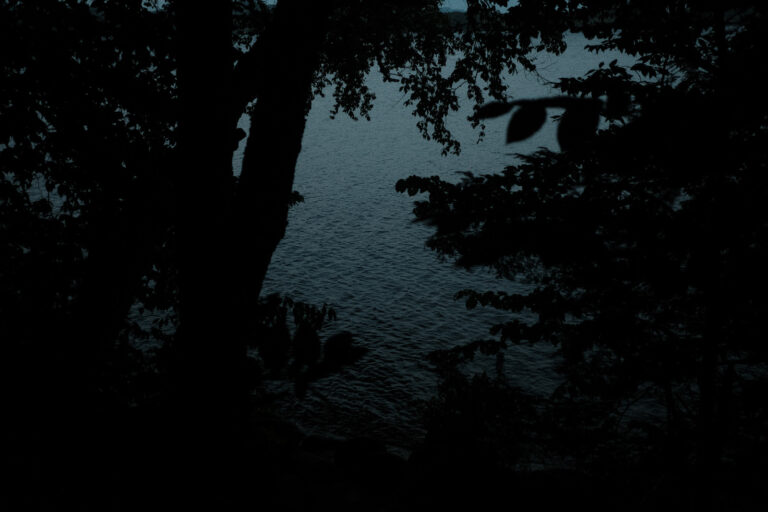
As you venture down the side of the mountain, there are several large caves to go through. The caves are simply awesome and you can see your breath at some points. The caves are actually the largest known open fault in the United States with ice caves and as a result of the cool microclimate ice is present throughout the year. (We didn’t see any but that doesn’t mean it’s not there!) The caves are also designated as a National Natural Landmark and rightfully so.
Overall, this hike was a harder difficulty than, say for example, Thatcher Park, but wasn’t unbearable at all. I normally hike with a friend and her puppy, and this time we left the puppy at home, which I would definitely recommend doing. We spent about 3 hours on the trail and probably covered 4-5 miles or so total during our trip. Everything was breathtaking and this very well may have been one of the most memorable and interesting spots I’ve been to in New York.
You can check out more info on their site and add this spot to your list of places to visit!